calsfoundation@cals.org
Arkansas’s Immigrant History
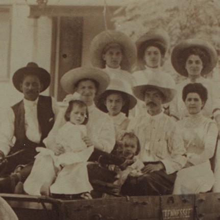
Arkansas’s immigrant population as always been relatively small but foreign-born immigrants contributions to the development of Arkansas’s economy is significant. Immigrants who settled in Arkansas include Germans, Italians, Poles, Bohemians, Chinese, Marshallese, Indochinese, Greeks, Latine, Jews, and South Asians.
Charleston, Arkansas
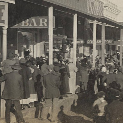
Charleston is one of the two county seats of Franklin County, along with Ozark. Located south of the Arkansas River, it is twenty-five miles east of Fort Smith, near the coal and gas fields of northwest Arkansas, and roughly a mile from one corner of Fort Chaffee. Charleston is most known for being the first community in a southern state to desegregate its school system following the U.S. Supreme Court’s 1954 Brown v. Board of Education of Topeka, Kansas decision.
Let’s Eat: A Collection of Arkansas Menus
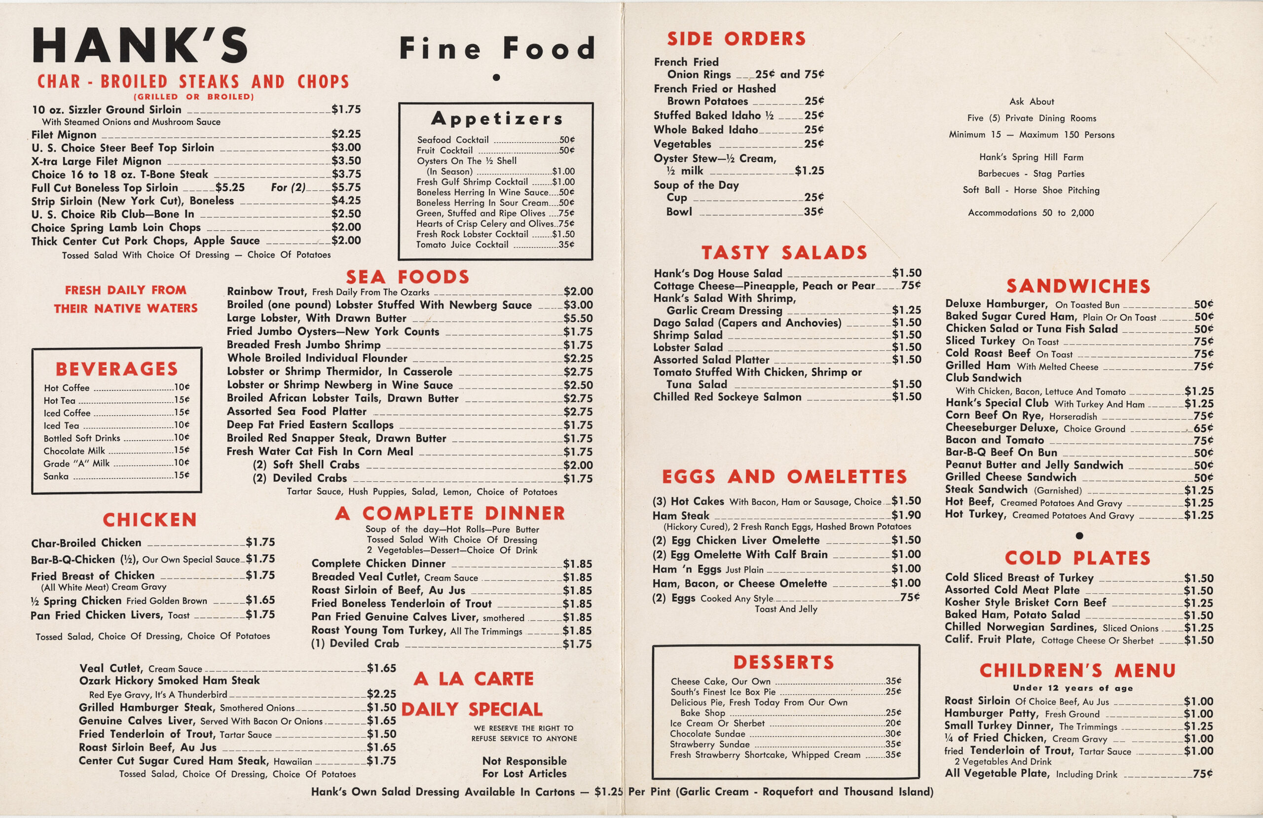
The CALS Butler Center for Arkansas Studies has a large collection of historical Arkansas menus. The earliest is from 1894, from the Arlington Hotel in Hot Springs. Some of the menus come from well-known establishments, while others are from lesser-known eateries. The menus have been plotted on a map to show where their corresponding restaurants were located. In some cases, additional information and photographs are included as well.
Little Rock’s Historic Ninth Street District
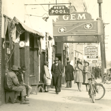
Little Rock’s West Ninth Street, sometimes referred to as the capital city’s “Little Harlem,” traces its history to the Civil War when the Federal army began erecting log cabins in the area for recently freed slaves. The area eventually become the vibrant center of the city’s African American community.
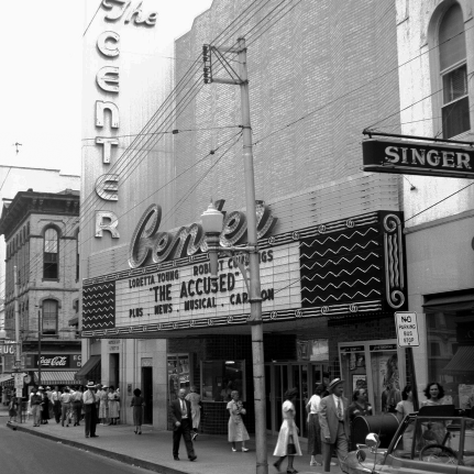
Little Rock’s Historical Downtown Movie Theaters
Downtown Little Rock has been home to more than a dozen movie theaters over the years, thought one would not guess it in this age of suburban cineplexes. The movement of people to western portions of the city and the resulting decline of downtown businesses led to the closure of these house of cinema.
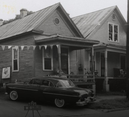
Lost West Ninth Street
For many decades, Little Rock’s West Ninth Street was the heart of the city’s African American community. “The Line,” as the street was sometimes known, was home to businesses, churches, fraternal groups, and a host of other entities. It also boasted a significant residential population. Unfortunately, by the early 1960s, societal changes, urban renewal, and the construction of Interstate 630 were leading to the demise of the once vibrant community. These photographs document those structures destroyed by these developments.
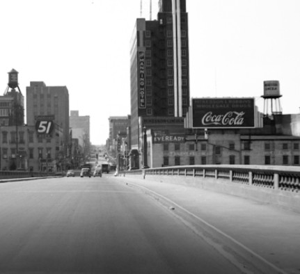
Mapping Downtown Little Rock
Using images from our collection, we have constructed an architectural tour of downtown Little Rock. Focused on the city’s commercial history, the virtual tour presents images from the past juxtaposed against modern images so that viewers can see how the city’s downtown architectural landscape changed over the years.
Note: When viewing the project, be sure to click on the historical images so that you can make them larger and see more detail.
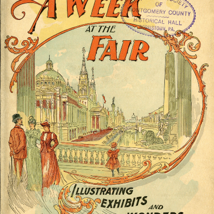
Mary Douglas Martin’s Trip to the 1893 Columbian Exposition
Mary Douglas Martin, a resident of Little Rock, journeyed to Chicago in 1893 with part of her family to experience the World’s Fair: Columbian Exposition. Martin recorded many of her experiences in a diary that she took along during the trip.
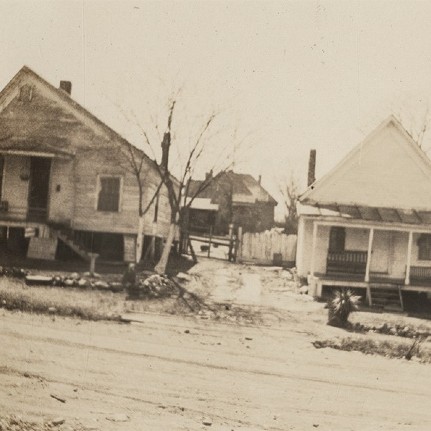
Vanished: Documenting a Forgotten Era of Little Rock’s Built Environment
The Keith family of Little Rock owned a large number of properties in the city in the first half of the twentieth century. Many of the buildings—mostly rental properties catering to lower- and middle-income citizens—were photographed for documentation. These historical photographs have been combined with modern street views to show how Little Rock’s built environment has changed over the years. Nearly all the structures are long gone.
Note: When viewing the project, be sure to click on the historical images so that you can make them larger and see more detail.


