501-918-3025
calsfoundation@cals.org
calsfoundation@cals.org
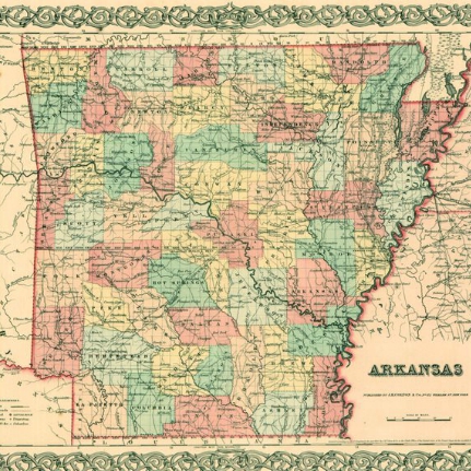
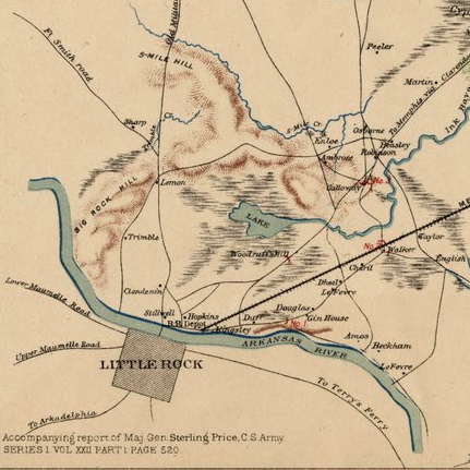
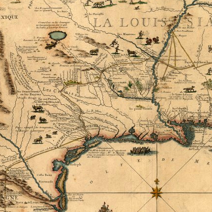
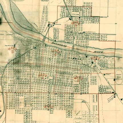
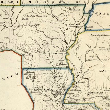
The MAPS collection includes maps dating back to 1710 and shows Arkansas during the time of Spanish and French exploration, the territorial period, and through statehood and the early 2oth century. Explore selected digitized maps in the topic blocks below or click on the link at the right to see all our digitized maps.
Didn’t find what you were looking for? The CALS Butler Center for Arkansas Studies collections include thousands of documents, maps, photographs, and audio/video materials that have NOT been digitized. Please refer to the FINDING AIDS for a complete listing of items in a collection. If you are interested in viewing an item that is not digitized, please call, email, or visit us.
Honor or memorial gifts are an everlasting way to pay tribute to someone who has touched your life. Give a donation in someone’s name to mark a special occasion, honor a friend or colleague or remember a beloved family member. When a tribute gift is given the honoree will receive a letter acknowledging your generosity and a bookplate will be placed in a book. For more information, contact 501-918-3025 or calsfoundation@cals.org.
Spreading your gift out through monthly contributions is a great solution for your budget and ours. Your monthly donation provides ongoing and predictable support we can count on to fund educational and cultural programming for the patrons, communities, and neighborhoods being served by CALS.
Leave your legacy with a planned gift that can help ensure quality materials, programming, and services for our libraries. For more information, contact 501-918-3025 or calsfoundation@cals.org.
Or, sign up for Kroger Rewards and a portion of your purchases at Kroger will be donated to the CALS Foundation. Simply go to krogercommunityrewards.com, click “Create an Account” to sign in, and select CALS Foundation as your organization to support.
If you would like to make a donation by check, print this donation form, fill it out and mail it with your check to:
Central Arkansas Library System
100 Rock Street
Little Rock, AR. 72201
The first time you log in to our catalog you will need to create an account. Creating an account gives you access to all these features.