calsfoundation@cals.org
Mapping History at the CALS Roberts Library
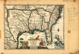
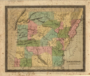
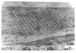
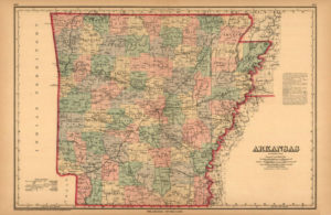
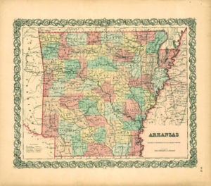
The CALS Butler Center for Arkansas Studies is excited to share forty-one individual maps and one Pulaski County atlas online through the Arkansas Studies Research Portal.
These maps are the first to have been digitized in an effort to encourage use of the Butler Center’s extraordinary collection of historical maps that collectively date from 1710 to 1917—more than two hundred years of changing borders and growing communities right at researchers’ fingertips. Notable maps digitized include the 1714 “La Floride” (shown here on the left) by Dutch cartographer Pieter van der Aa (1659–1733) showing the European colonies and American Indian settlements on what would eventually become the south-central to southeastern United States, as well as the “New and Correct Map of North America” showing the United States boundaries as set in the Treaty of 1783 and locations of Revolutionary War engagements.
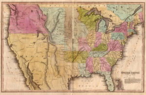
Civil War enthusiasts will appreciate the 1891 “Sketch of Engagement at Bayou Fourche, Arkansas” showing troop deployment and fortifications at the September 10, 1863, battle. Those interested in the development of Arkansas as a state will want to see the 1822 “Geographical, Statistical, and Historical Map of Arkansas Territory,” which includes information about the territory’s history and physical features, as well as the 1844 map from the Arkansas Surveyor’s Office showing townships, waterways, and Native American settlements.
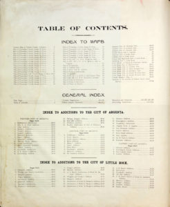
The 20th Century Atlas of Pulaski County, Arkansas, published in 1906, brings the focus back to a local level. In addition to plat maps from around the county, there are several pages devoted to the history of Pulaski County, including photographs of prominent landmarks, a gallery of portraits depicting leading citizens, and information on surveys and how to read them. Archivists are adding property owner names to the individual pages of this atlas, which means a search in our catalog for an ancestor might bring up a page of this atlas showing where that ancestor lived in the early twentieth century. The maps mentioned here are just a small sampling of what is available online and in the Roberts Library Research Room.
While the focus of the collection is Arkansas, the Butler Center also has a number of regional, national, and world maps. The Arkansas maps are divided by type (state, county, and municipality). There are also separate categories for Civil War and miscellaneous maps. If you have historical maps, consider donating them to the Butler Center to add to the collection. They can be invaluable tools for researchers.
Other notable maps in the collection:
View the digitized map collection online here, and come to the Research Room in the CALS Bobby L. Roberts Library of Arkansas History & Art to examine some in person. Click here for Roberts Library visiting information.
